Adventure ~ Distance ~ Goals ~ Altitude
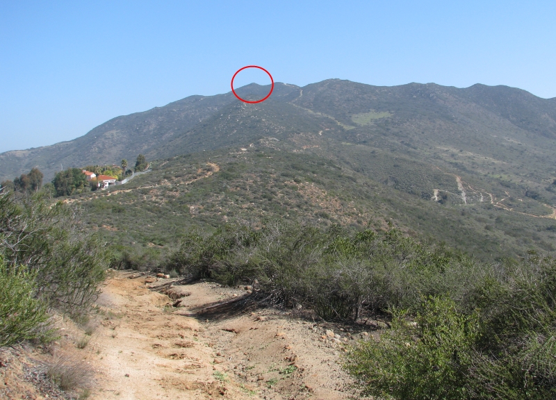
McGinty Mountain is located within the McGinty Mountain Ecological Preserve. You can find this hike near the town of Jamul located within the unincorporated area of San Diego County. It's about 25 miles east of downtown San Diego. There is a small parking area near the trailhead with enough room for about 10 cars. The hike is about 4.5 to 5 miles depending upon which route one takes. The trailhead is at 880 feet and the peak is at 2183 feet which makes for a 1300+ gain in elevation. One should allow at least 2 hours for the round trip hike.
From my review, this is a great hike with a good amount of variety in views and exertion. One hikes up through a valley then up along a ridge. As one ascends, the views become fairly nice with different things to see in every direction and the view changes as one treks higher and higher. The levels of exertion vary as well from easy to moderate to steep in selected sections. You can choose your pace to match your level and desired exertion. Be sure to bring the water as the trail is mostly exposed and hot in the summer months. The hills are green in the spring. The only downside is the closeness of a few houses to the trail. I am not sure of the history of this mountain but there are some mine openings and some evidence of mine slag scattered sporadically around the mountain.
Once on top, the views are remarkable from all 360 degrees. One can see many of the peaks within San Diego County from McGinty Mountain. Overall, this is a great hike close to San Diego.
Click on picture for larger picture


