Adventure ~ Distance ~ Goals ~ Altitude
Within Mission Trails Regional Park is North and South Fortuna Mountains. North Fortuna Mountain is is slightly higher in elevation than South Fortuna Mountain.
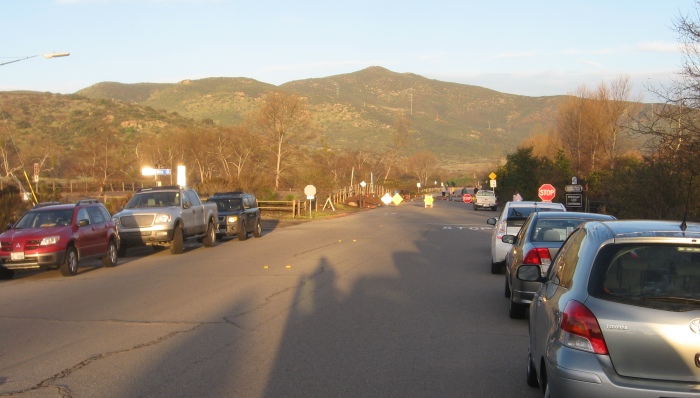
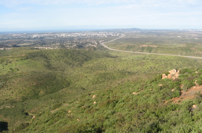
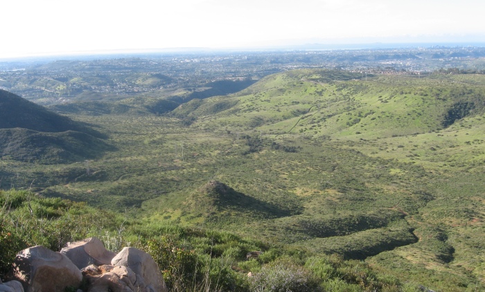
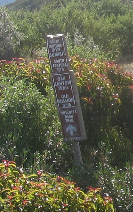
There are several ways to get to the top each with varying levels of distance and terrain. The approach we took on February 21, 2011 was to park near the Old Mission Dam are and proceed through the oaks and along the creek until we reached the service road near the power lines. This service road is a bit steep in some sections but it brings you to a nice saddle from which you can chose to go North west to the North Fortuna Mountain. We hiked up top of this and had nice views overlooking th 52 freeway and Mira Mar Marine Corp Air Station. There are some metal boxes on top her with journals and geocaches for those interested. We then proceeded down the same trail we came and then up the trail to South Fortuna Mountain which is more of a wide mound than a peak. This had a nice view to the Cowles Mountain and East County. It was nice to see snow on the mountains in Julian and Cuyamaca from the recent snow 2 days ago.
We then proceeded back down the trail and reach the dam area. Since it was near 10:15 now there were many more cars than when we started at 7am. In all we did about 5 miles. It was a beautiful day with nice clear views.
North and South Fortuna Mountains
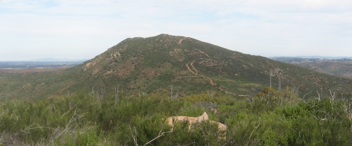
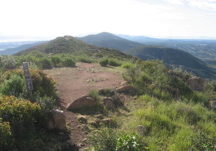
A view of North Fortuna Mountain looking west