Contact Jeff
Last updated on 03-03-2010
Copyright, 2010. Jeffrey Johnson, All rights reserved
Adventure ~ Distance ~ Goals ~ Altitude
Jeff's Pacific Crest Trail Hike
Section C
Below describes our hike along Section C of the PCT trail.
May 4, 2010
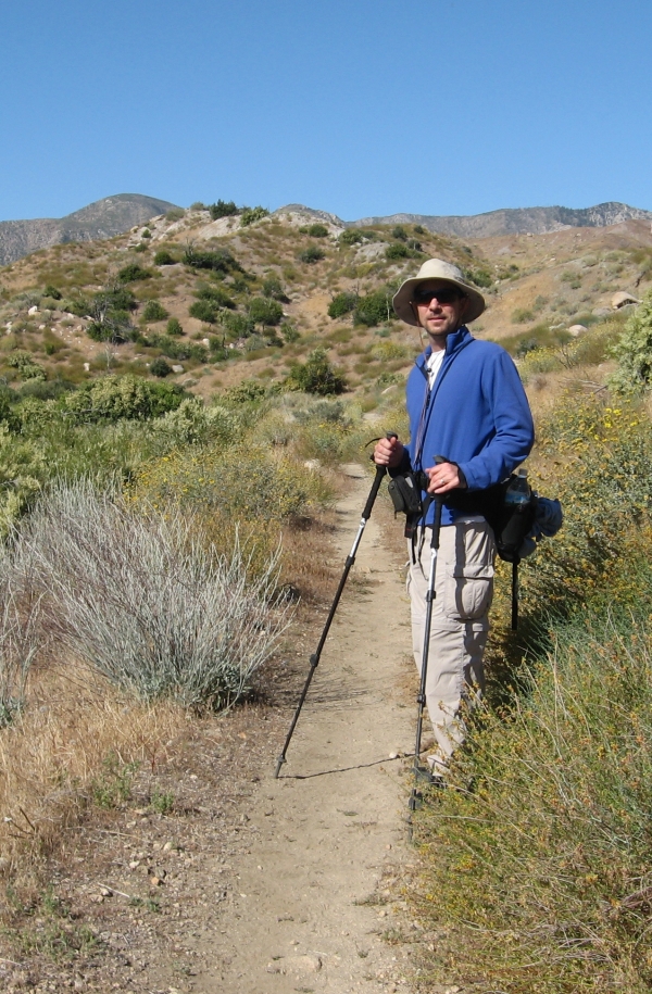
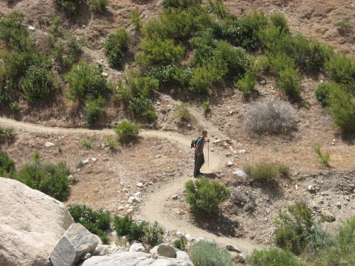
After some planning over the past year and pouring over Google satellite maps to figure out the right starting and ending point, we proceeded to hike our next PCT segment. This was the first leg of Section C. It was a beautiful spring day and the desert was green. Alan and I drove 2 cars up to the Palm Springs area and dropped my truck off and the ending point next to the 10 freeway. This is the first PCT section since the Mexico border that we decided we would hike it southbound. Our decision was due to the idea of trying to hike as quickly as possible in a decreasing elevation mode. We also wanted to optimize our chances of passing some PCT thru-hikers. It was 19 miles we had to do and we did not want to get stuck in the dark.
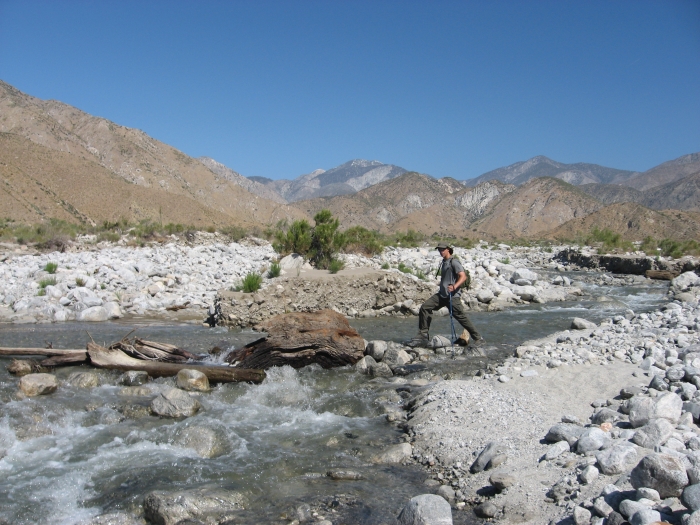
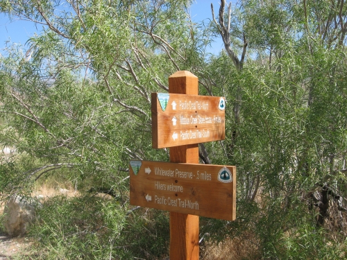
The start of the trail was actually in a new preserve. Nicely maintained. The hike was mostly uneventful. Nice desert flowers. The highlight was crossing a good size stream. It was snow runoff from the back of Big Bear and San Gorgonio. It was about 12 feet wide and 18 inches deep. We crossed via some rock stepping stones. Saw very few day hikers but we did pass about 15 PCT thru hikers. The most I have passed yet in all my years of doing the PCT. Most had trail names and we about 2 weeks into the trail.
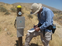
We signed the PCT registry that was on the trail about 1/4 mile from our ending point. It was a grand day for a hike.