Contact Jeff
Last updated on 03-03-2010
Copyright, 2010. Jeffrey Johnson, All rights reserved
Adventure ~ Distance ~ Goals ~ Altitude
Jeff's Pacific Crest Trail Hike
Section B
Below describes our hike along Section B of the PCT trail.
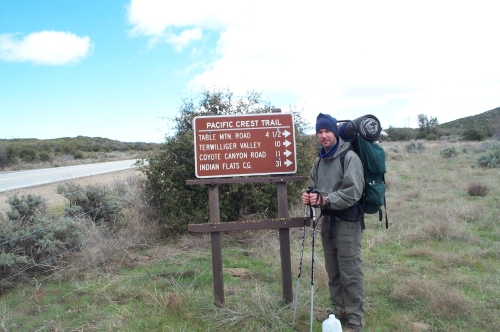
March 19, 2006
Andrew, Peter and I and Alan and his boys hiked part of this next section. We hiked from the 79 southwest of Warner Springs around to the NorthWest 79 highway. After that point Alan and I continued the next 6 miles up to the stopping point for this day. In total, 7.8 miles of hiking today. The rain from the past 2 weeks was still working down the river beds. Toward the last half hour of the hike, we starting getting hail and then some snow fall. The next section ahead is about 30 some miles. Hopefully we will get to this section within the next month.
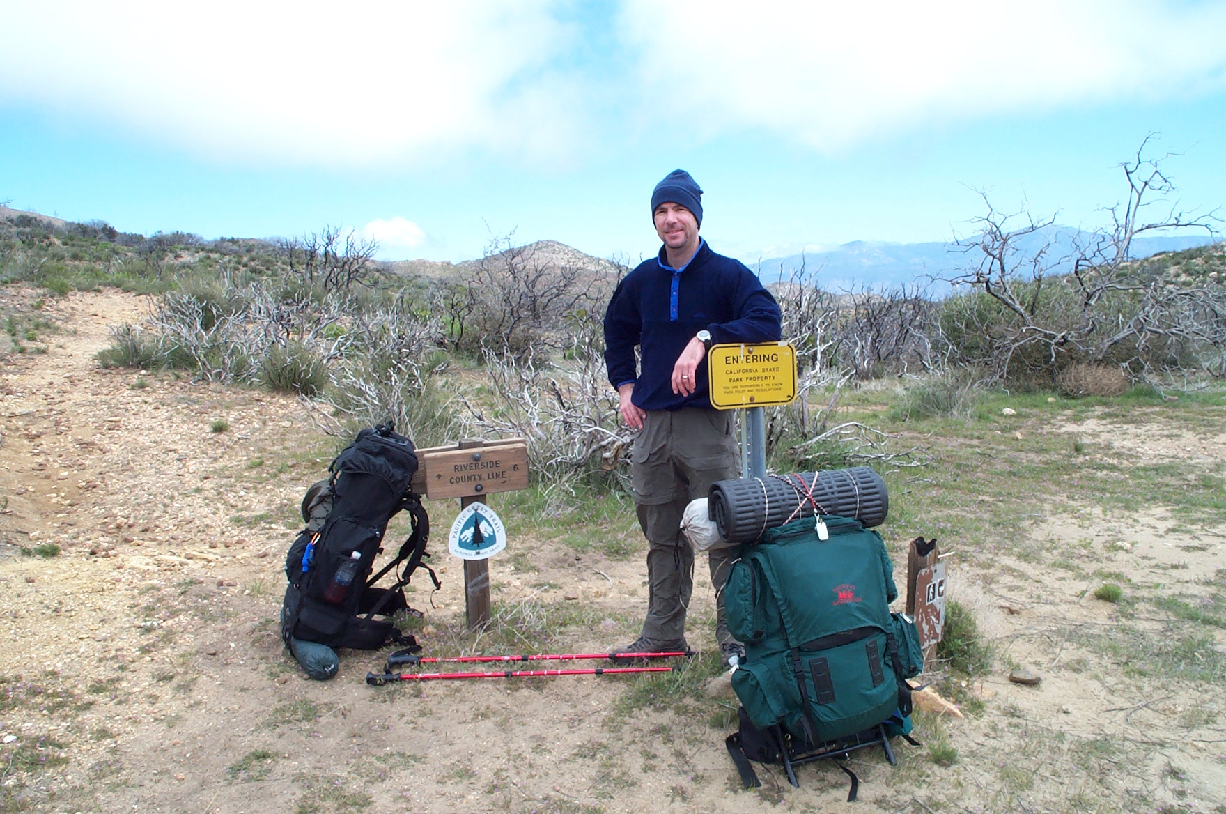
April 21-23, 2006
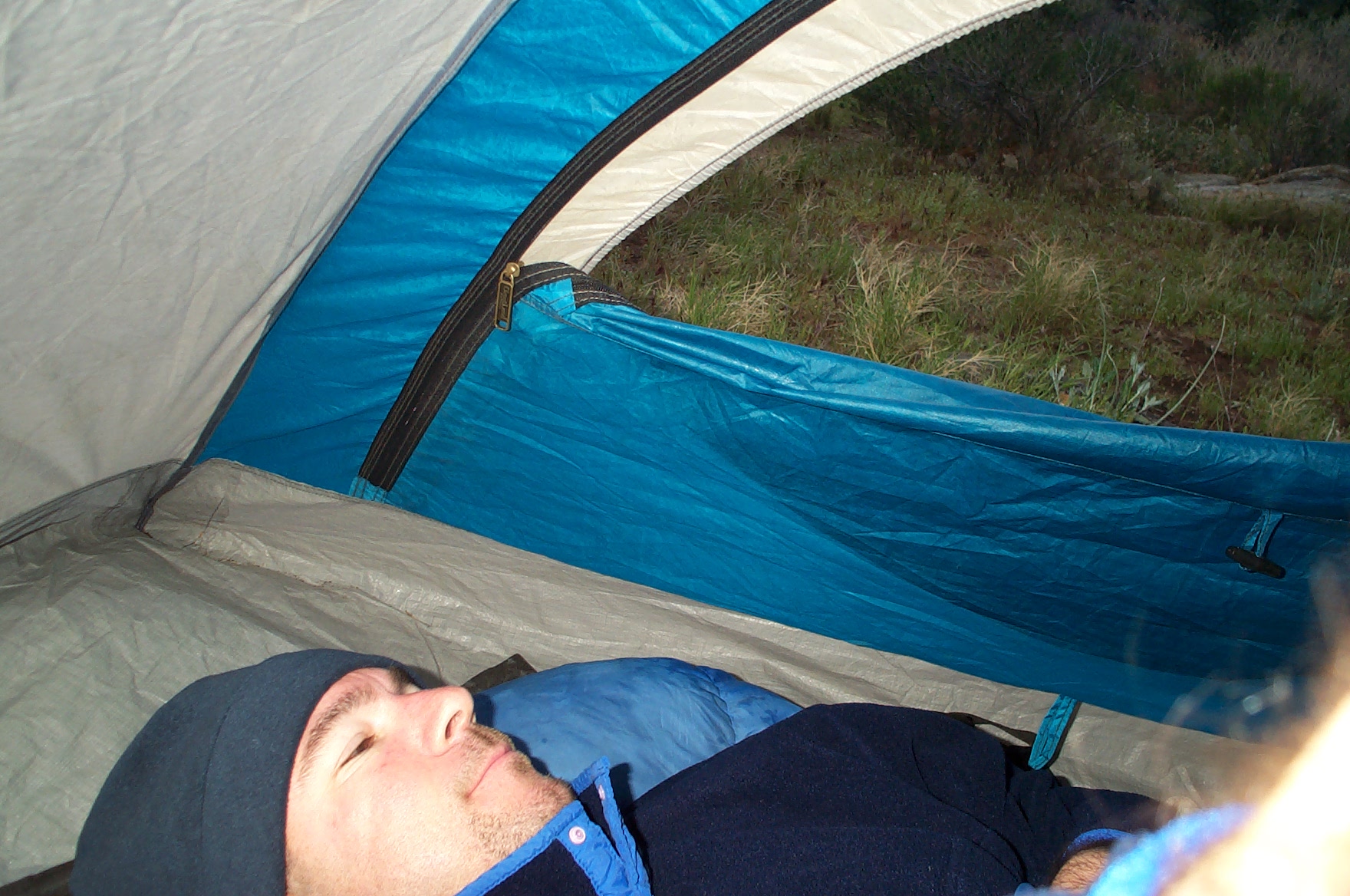
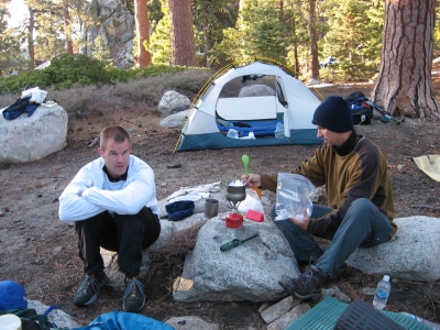
This weekend Alan and I hiked 32 miles from the Road to Indian Springs Campground to the 74 Pines to Palms highway. We staged the cars Friday, camped at the trailhead and started out at 7:30 the next morning. We did hear a few hikers talking and walking at 4:30 am. The weather all weekend was mostly cloudy and occasional drizzle that never really soaked us but made things cold. The plus side was that we did not need that much water. We camped that night at Nance Canyon creek-bed. It was very windy Saturday night and drizzly and even at one point snow/sleet. We continued hiking to my truck and arrived at 1pm. It was a good hike and we saw 2 PCT folks camped out on a ledge. While driving to pick up Alan's car at the beginning point, we saw Jennifer and Mindy with the kids. They had surprised us by meeting us and we all enjoyed ice cream at Dairy Queen (Andrew and Peter had an Oreo Blizzard). I forget to mention, my recipe for curry rice meal hit the spot again. The Pemicum bar was great and the Thai tuna for lunch. Even though I cut weight down before the hike, I ended up carrying a few things I just did not need for a 2 day hike including an extra set of batteries I was to replace before the trip. In all my pack for this trip weighed 21 pounds before the water.
April 20-22, 2007
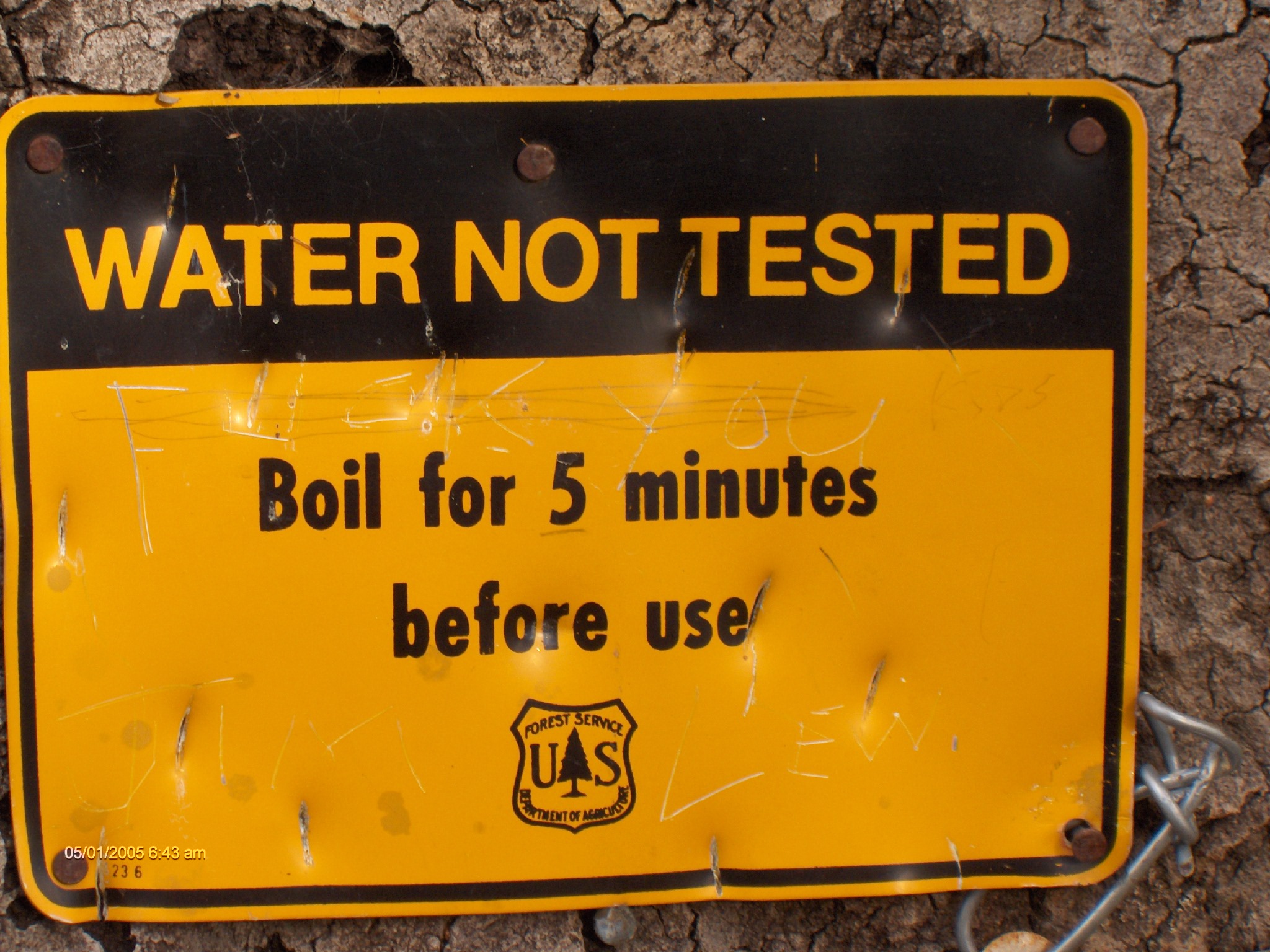
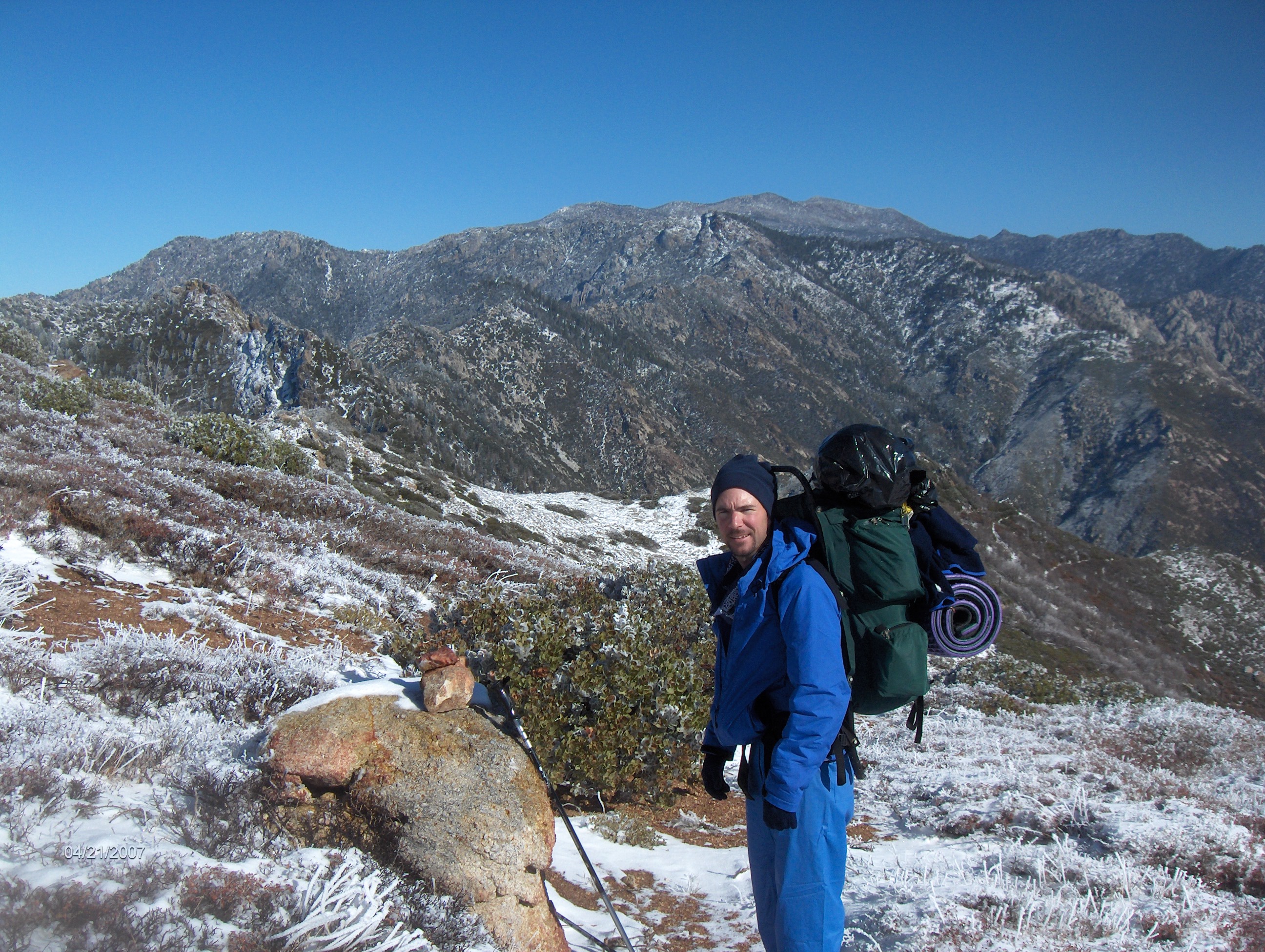
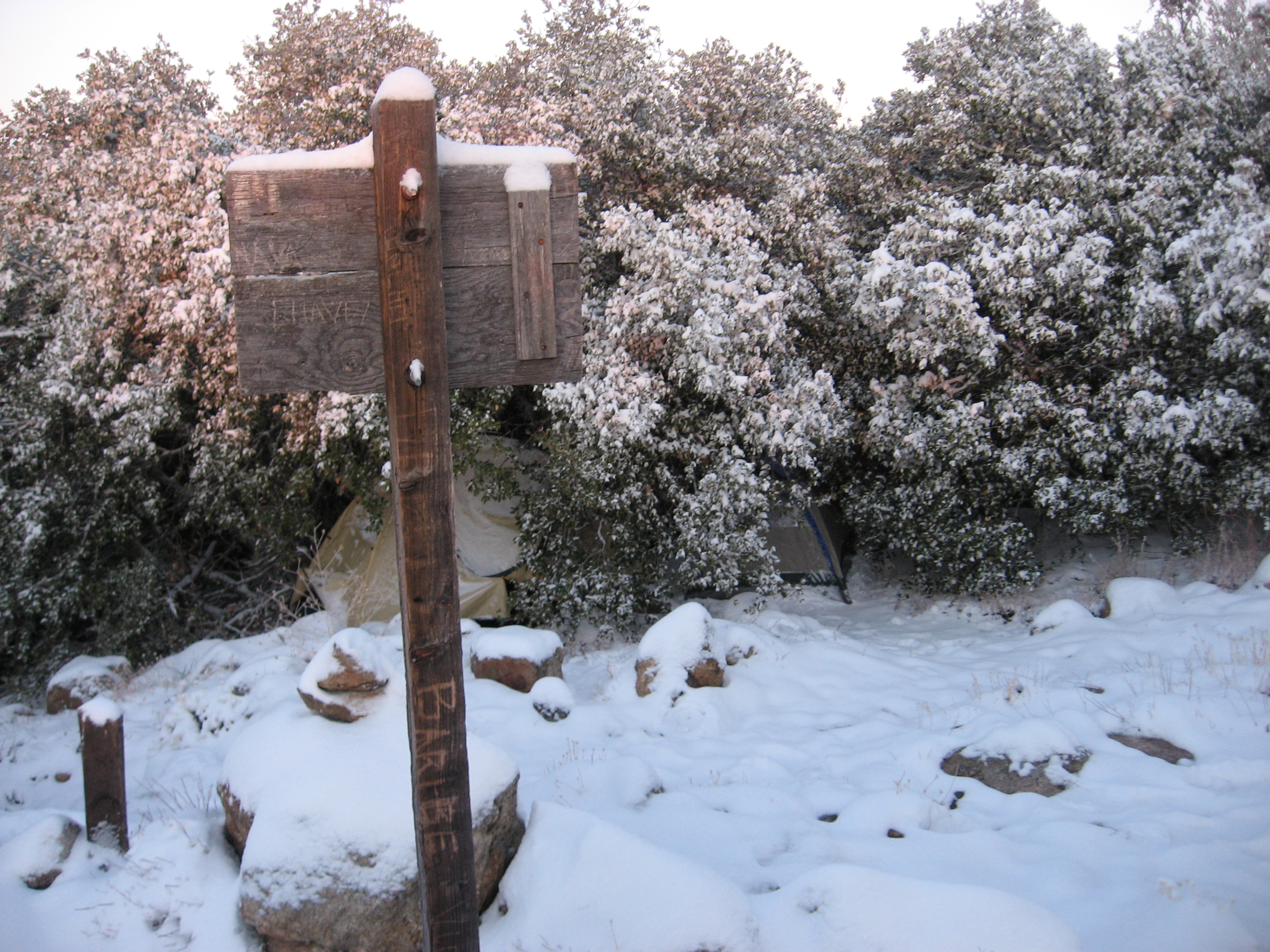
Alan, Neal and I hiked from the 74 Highway to the Fuller Ridge Remote Campsite. We had originally intended to go all the way to the 10 Freeway but the snow had limited our progress. However, the snow was a much added treat and experience. We also saw a few other PCT thru hikers on the trail namely: Mr. Parkay, Ladybird, Ed and a German guy. Heading out on Friday we knew there would be a chance of rain and snow. Fortunately we had climbed high enough for the precipitation to be snow and not rain. We hiked in the foggy, snowy weather and stopped about 4pm to set up camp before it got too worse. We heard the pounding snow and wind all night long. In the morning I heard a bird and had hope that it would be a clear day. We woke up to 100% sunshine and the most amazing snow scene I had ever experienced. We proceeded to hike that day and dry out our clothes at midday. We continued hiking all day as we saw the sky become more foggy and overcast probably from the moisture from the west side. About 6:15 we found a nice dry spot in mostly sunny overlook and enjoyed a nice evening and dinner. The first day we hikes 16 miles, the next day another 16 miles and the last day was 8 miles. It was a good hikes. The weather was cool. No wildlife of significance was seen. We melted snow for water. The trail had a lot of variety and is worth doing again in nicer weather. After hiking the first day in increasingly bad weather, we wondered what was in store for us the next day. We started planning other options if the weather was bad the next day.
Oct 17-18, 2008
Fuller Ridge Remote Campsite to the 10 Freeway. Alan an I camped with our wives at the trailhead campsite. During the night it rained and was very windy. We really did not know if we would make the hike the next day if it was going to be too wet. In the morning we woke up to a lot of fog. We started hiking about 6:50 and within 2 miles we were out of the fog into blue clear sky. We spent the day hiking the 19 miles down, down, and down. Almost 7,000 foot drop in elevation. About 6 miles into it we encountered a group of hunters. They were firing and they did not see us even though these were criss-crossing the trail as they were chasing deer. We finally got one guys attention but it was a bit concerning for a while. I held up my orange stuff sack high the in the air for a few miles so thay they would know where we were. We finally got out of sight and were on our way. Lower down we heard some other shots fired from another group but they seemed far away. We finally finished the hike hiking through the dry wash with a strong wind. Our wives were waiting for us just under the 10 freeway. Good to have this section done. We officially finished Section B.